
Central Question
Stand on a beach facing the North Sea, and the boundary seems obvious. Behind you is land: roads, homes, places with names. Ahead is water. Whatever history belongs out there, you might imagine, belongs to ships.
Yet thousands of years ago, parts of that view would have contained rivers, woodland, and ground that people could cross on foot. Somewhere beyond the present shore were places familiar enough that someone could have given directions through them. A bend in a river. A place to meet. The way home.
How does our understanding of humanity change when some of the landscapes people inhabited are now underwater?
The question has an archaeological side: what can we recover? It also has a quieter, more unsettling side: how much of what we call the human story has been shaped by the places we can still reach?
There is no defensible percentage that answers the title. We cannot count every vanished settlement, and human history cannot be measured simply in square kilometres of flooded ground. But we can investigate particular landscapes, identify what survives, and ask how their absence has influenced the larger picture.
One of the clearest places to begin is Doggerland.
The Map We Inherited
On a modern map, Britain is an island and the North Sea is a space between countries. Carry that image backward without changing it, and the past begins on the wrong stage.
Doggerland is the name used for prehistoric landscapes now submerged beneath the North Sea, between Britain and continental Europe. It was never one fixed outline or a single known society. Its geography changed as ice retreated, the land adjusted, and rising seas reached farther into low ground.
Much of its human story concerns the Mesolithic: the period of European prehistory after the last Ice Age when communities lived by hunting, fishing, and gathering, before farming became widespread. To understand those lives, we need the geography they inhabited, including connections that today's water conceals.
The University of Bradford's research around the Brown Bank describes a submerged landscape of former rivers, lakes, and land surfaces. Finds from the wider area include worked stone and bone, alongside human remains. This is a physical record of a human presence, although it is far from a complete account of where people lived.
Calling Doggerland a land bridge captures one aspect of its geography. It can also encourage us to imagine a corridor whose main purpose was to let people reach somewhere else. A place with water, food, shelter, and social connections could be a destination in its own right.
That is the first adjustment worth making. The ground between the countries on our maps could have been the centre of somebody's world.
How to Read a Landscape Beneath the Seabed
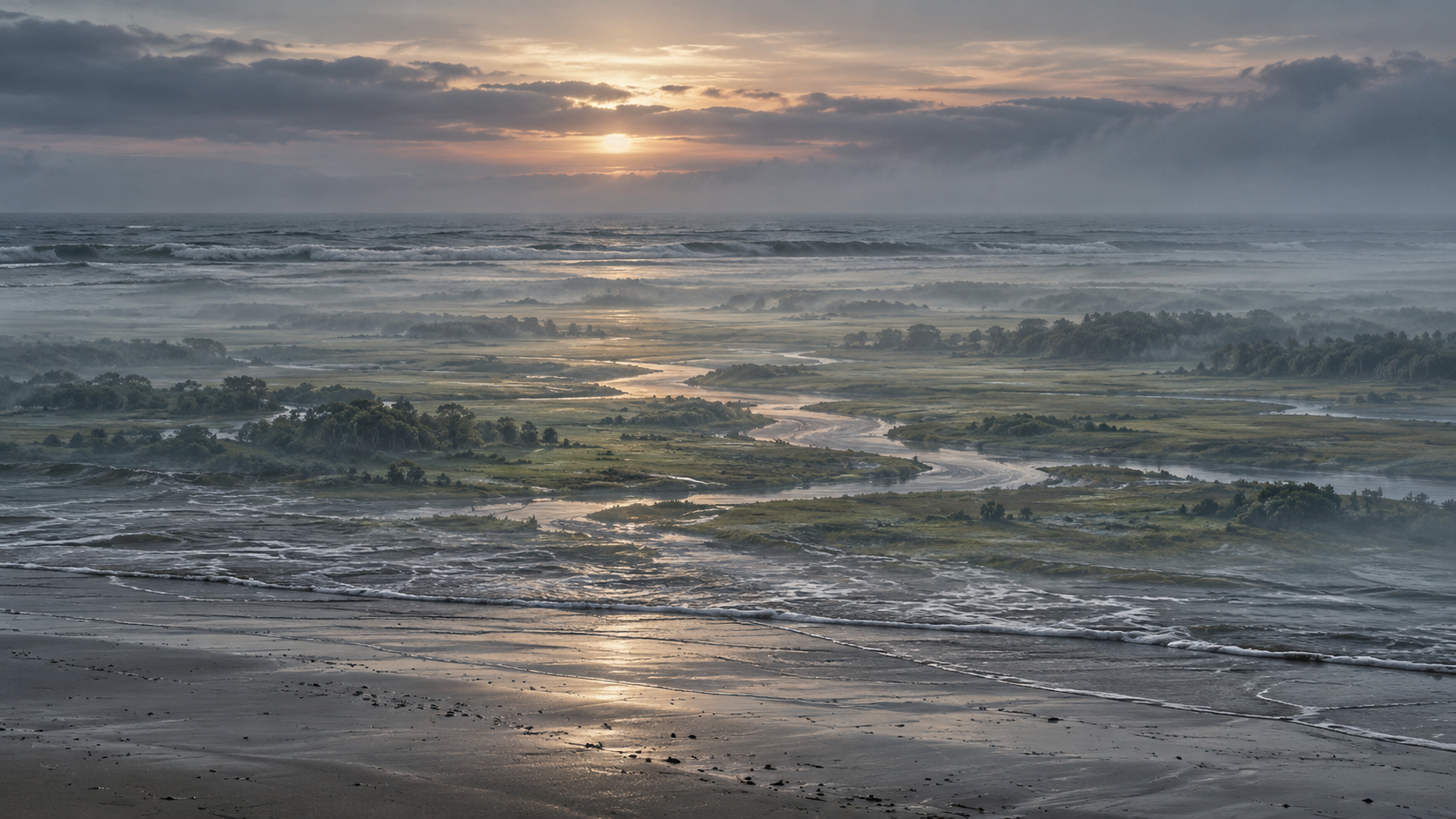
Finding that world requires more than looking down through the water. Ancient ground can lie beneath layers of later sediment, while currents and erosion have removed or reshaped other parts. The seabed we see today is itself the product of a history.
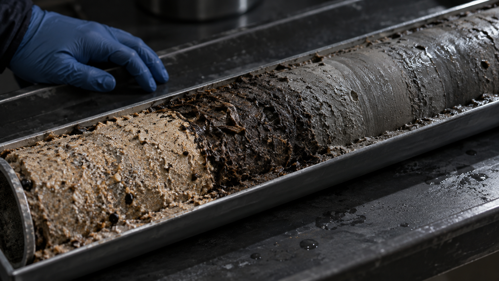
Researchers use seismic surveys, which record the reflections of sound waves from buried layers, to trace features such as old river channels. They then take sediment cores: narrow columns of material that preserve a sequence of deposits. A 2020 North Sea investigation combined survey results with fossils, chemical evidence, and dating from cores. At Brown Bank, acoustic surveys and cores likewise helped researchers refine where to investigate next.
Different kinds of evidence answer different questions. Keeping their limits visible makes the reconstruction more useful:
| Evidence | What it can help establish | What it does not establish by itself |
|---|---|---|
| Seismic reflections | The shape of buried channels and geological layers | That a particular riverbank held a settlement |
| Cores containing pollen, peat, and other remains | Past environments and changes in local conditions | The routines of a particular household |
| Dated material within a recorded sequence | When environmental changes or human activity occurred | That objects from different places belonged to one event |
| Tools with wear and residues | How people made, used, and maintained equipment | The full social world of their makers |
The strongest reconstructions bring these strands together. A mapped channel becomes more informative when a core reveals its environment and dating helps place that environment in time.
Peat, an accumulation of partly decayed wetland plants, provides an especially useful record. A 2025 study in Nature examined North Sea sequences where peat lies beneath later marine deposits. Dating material near the boundaries helped constrain when wetlands developed and when rising water overtook them. The researchers also accounted for factors such as sediment compression and changes in the land's elevation.
Radiocarbon dating estimates the age of once-living material from its remaining radioactive carbon. It gives researchers a clock, with uncertainties, that they can combine with the order of the layers. Neither the clock nor the map works alone.
There is something quietly extraordinary about this method. A dark band of plant material brought up from beneath the sea can help locate a vanished shoreline in time. It cannot tell us who stood there, but it narrows the world in which their lives were possible.
An Object Can Survive Without Its Address
A tool recovered from the sea seems to promise direct contact with a person. Someone selected the material, shaped it, and put it to work. Sometimes the traces are intimate enough to show maintenance rather than manufacture alone.
In a 2023 study of seventeen points from the Dutch North Sea, microscopic wear and residues supported uses including hunting, fishing, and piercing hides. Some barbed points retained birch tar or traces of bindings used to attach them to shafts; others showed repair or reuse. The findings concern a studied sample, not every tool or community in Doggerland.
Repair changes the emotional scale of the find. We are looking at equipment that someone kept working: material knowledge expressed through repeated handling. The evidence cannot recover that person's thoughts, but it can reveal decisions made through the object.
The difficulty is that many North Sea finds arrive through fishing, dredging, or sand moved onto beaches. Their archaeological context—their original position and relationship to surrounding objects and layers—may be partly or entirely lost.
A point without that context still matters. A separate study of shore-collected points demonstrated that their material could be identified and samples dated. But a point cannot automatically tell us whether it lay beside a hearth, was lost during hunting, or was moved long after its owner died. A collection from one beach need not represent one ancient community.
This distinction separates evidence of people from a reconstructed settlement. Recovering an object and recovering the circumstances of a life are different achievements.
The Skills That Stone Alone Cannot Show
One comparison makes the stakes especially clear. At Bouldnor Cliff, off the Isle of Wight, archaeologists have investigated a submerged occupation landscape dating to around 8,000 years ago, now roughly eleven metres underwater. This is a separate site in the Solent, not a settlement discovered within Doggerland.
The Maritime Archaeology Trust records worked flint, hearths, and worked wood. Its account of the site's excavation monograph also describes food remains and twisted plant fibres. Such materials expand what researchers can learn beyond the objects most likely to endure in less favourable conditions.
Wood and fibre matter because a life organized around stone tools was never a life made only of stone. A surviving cutting edge tells one part of a task. A handle, binding, wooden structure, or trace of food can reveal other parts that decay more easily.
Now imagine a family returning to a familiar riverbank. One person repairs a binding while another prepares food. A child is learning which ground remains firm after rain. Farther along the bank is a place where other people gather when a seasonal resource becomes available.
That scene is an illustration of the kinds of lives we are trying to understand, not a discovered episode from Doggerland. Its people, actions, and location are imagined. What makes it a useful exercise is the reminder that technical skill, environmental knowledge, learning, and relationships must be considered alongside the surviving equipment.
The Unpath'd Waters reconstruction described by Historic England makes this boundary explicit. Its landscapes combine survey evidence and environmental research, while simulated human behaviours draw on comparisons with other populations and remain hypotheses. A convincing reconstruction can help us ask questions; its realism does not turn every detail into a discovery.
A Coastline Can Change Faster Than a Way of Life
It is tempting to give a lost landscape one final day: the sea arrives, the world disappears, and the survivors carry its memory elsewhere. Doggerland's history resists such a clean ending.
Long-term sea-level rise altered the region unevenly. On low ground, a relatively small vertical change can move the shoreline a considerable horizontal distance. Rivers, estuaries, wetlands, and routes could change before a place became permanently submerged. The pace and consequences depended on local conditions.
There was also a major catastrophe. Roughly 8,200 years ago, the Storegga submarine landslide off Norway generated a tsunami. Yet a 2020 analysis in Antiquity challenged the familiar idea that this wave permanently drowned all of remaining Doggerland. Its authors argued that effects varied with the landscape and that some areas survived, with later sea-level rise completing their inundation.
The human consequences remain harder to establish than the physical event. A devastating local experience, gradual relocation, and continued use of surviving ground need not be competing stories for the whole region. Different communities could have faced different circumstances at different times.
Imagine, again as a thought experiment, that a route learned in childhood becomes unreliable in adulthood. Fresh water is harder to reach. A gathering place lies across a widening inlet. Moving camp might be possible, while moving an entire network of familiar places is another matter.
Migration in such a landscape would involve more than bodies changing coordinates. People would have to carry knowledge into conditions where some of it still worked and some needed revision. Archaeology can investigate those adjustments, but a map of rising water alone cannot tell us who moved, when they decided, or how the move felt.
A Missing Chapter Needs Evidence of Its Own
Submerged landscapes could change accounts of where people settled, how groups stayed connected, and which skills travelled between them. The difficult step is demonstrating those connections.
A sequence of dated occupation sites could reveal when particular places were used. Tool materials might help trace movement or exchange. Food remains could illuminate seasonal activity. To argue for a migration, researchers would need evidence that connects communities across space and time, rather than treating every abandoned shoreline as proof of one shared journey.
Even the apparent density of human activity requires care. A 2024 study by Pir Hoebe and colleagues compared models of Doggerland's inundation with patterns in archaeological radiocarbon dates. The authors stressed that the distribution of those dates is influenced by which sediments survive and can be accessed. A rise or fall in the available evidence does not translate straightforwardly into a rise or fall in population.
This is also where the distinction between missing history and a proposed advanced lost civilization becomes essential. The evidence reviewed here supports inhabited landscapes and skilled human activity. It does not establish an otherwise unknown urban or industrial civilization.
“Advanced” needs a specific meaning before it can become a useful claim. If the proposal is sophisticated woodworking, look for worked timber and the processes it records. If the proposal is a large city, ask for a coherent pattern of structures, occupation deposits, dates, and associated material. Different claims require different evidence.
The difficulty of searching underwater leaves room for discoveries. It cannot choose their content in advance. And ordinary human lives do not become more significant only when we can attach a palace to them. Knowing how to feed a family, maintain equipment, and navigate a changing landscape is already a substantial human achievement.
The Coastline Has Been Editing the Story
We often imagine the archaeological record as a damaged photograph: parts are missing, but the surviving areas give us a broadly representative view. Doggerland invites a more demanding possibility. The damage can be patterned, affecting whole environments and kinds of activity.
A community living beside a river that now lies offshore may be harder to investigate than one whose traces remain accessible inland. Within either community, a stone tool may outlast its wooden fittings. What becomes visible depends on a sequence of conditions: a trace has to form, survive, remain reachable, and be recognized when someone encounters it.
The coastline on a modern map can become an accidental boundary around the history we tell.
Archaeologists already work with these problems. The wider shift is for the rest of us, reading discoveries as a portrait of humanity. A sparse record from an inaccessible landscape should make us examine how the evidence was gathered before assuming the landscape had little human importance.
Consider a thought experiment. Future researchers have the concrete foundations of your town, but almost none of its kitchens, messages, footpaths, or informal meeting places. They could make real discoveries about its construction while struggling to understand how people spent an ordinary afternoon. The buildings would be genuine evidence; their prominence in the surviving record would not make them a complete measure of what mattered.
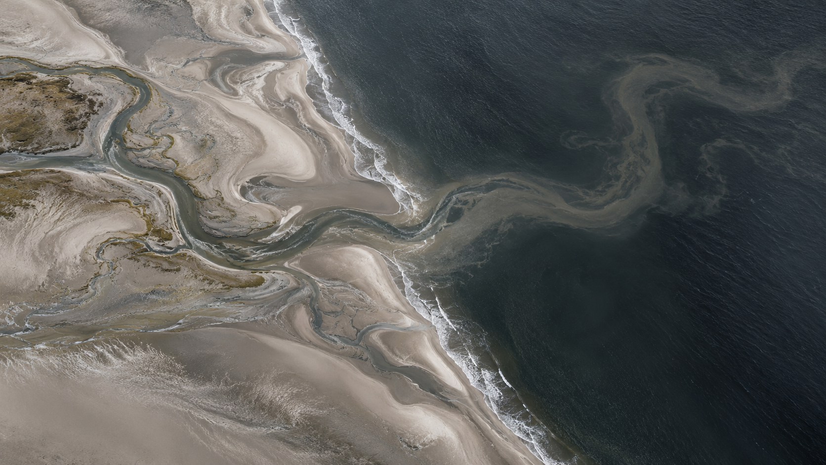
Return to the beach with that distinction in mind. Water still begins where the sand ends. But the visible boundary no longer tells you where meaningful human geography stopped. Some of the blank space belongs to the map of our access.
Search More Widely, Interpret More Carefully
The Galactic Mind's view is that submerged landscapes should make our account of the past more attentive to its own limits. Doggerland gives us reason to widen the search and to value forms of knowledge that leave modest traces. It also gives us reason to distinguish a mapped environment, an identified artefact, and an excavated place of occupation.
Those distinctions make discovery stronger. A securely recorded hearth beside tools and food remains could answer questions that a spectacular object without context cannot. A revised shoreline might change a proposed route. Evidence of repeated visits could reveal a gathering place that otherwise looks unremarkable.
There is a practical reason to care now. At Bouldnor Cliff, the research team reports that erosion exposes archaeological material and can destroy it before it is recorded. Preservation underwater is conditional; what has lasted for millennia is not necessarily safe for another season.
Offshore development creates another meeting point between the present and the past. Bradford's work with survey data collected for marine development shows how industrial investigations can also help researchers identify archaeological potential. Protecting the record depends partly on asking archaeological questions while the opportunity to examine it exists.
The larger aim is to recover relationships: between an object and its setting, a skill and its materials, a group and the landscape it knew. Those relationships are how fragments begin to become history.
The Way Home Beyond the Water
We may recover another river channel, another tool, another place where people worked. Some discoveries will sharpen existing accounts. Others may make familiar maps of settlement or movement harder to defend. Much will remain beyond recovery.
We are unlikely ever to know what a particular vanished bend in a river was called. Yet a place does not need to have kept its name to have mattered. For someone, it could have marked the last turn before reaching people they knew.
The sea in front of us is real. So was the ground beneath parts of it, and the human attention once given to that ground. Holding both together changes the view without requiring us to invent what we cannot see.
When we look toward an empty horizon, how much of that emptiness belongs to the past—and how much belongs to our ability to reach it?
What do you think? Drop your thoughts in the comments
More in Deep Think
- When Does an Anomaly Become Evidence? — A closely related inquiry into the steps between detecting something and establishing what it means.
- Can a Government Hide a Truth From Itself? — Extends the distinction between possessing fragments and making them accessible as knowledge.
- Is Nostalgia a Sign of a Dying Civilization? — Explores how longing shapes our relationship with a vanished past.
Sources / Receipts
Research checked 11 October 2026. Descriptive links in the article lead to the underlying work. The imagined family scene, changing route, and future town are thought experiments; the wider argument about historical visibility is editorial interpretation.
- Historic England — The Lands Beneath the Sea. Official Unpath'd Waters project account. Explains the reconstruction's evidence and distinguishes simulated human behaviours from direct knowledge.
- University of Bradford — Brown Banks and White Cliffs: the search for lost prehistoric settlements in the North Sea, 2019. Field-team account of acoustic surveys, cores, finds, and prospective occupation areas; a search report rather than proof of a fully excavated settlement.
- Gaffney, V., and colleagues — Multi-proxy characterisation of the Storegga tsunami and its impact on the early Holocene landscapes of the southern North Sea, Geosciences 10(7), 270, 2020. Peer-reviewed example of combining geophysical mapping, sediment analysis, biological evidence, and dating.
- Hijma, M. P., and colleagues — Global sea-level rise in the early Holocene revealed from North Sea peats, Nature 639, 652–657, 2025. Peer-reviewed study connecting dated peat sequences with sea-level reconstruction and explicit geological corrections.
- Aleo, A., and colleagues — A functional study of hafted barbed and unbarbed Late Palaeolithic/Early Mesolithic points from the Dutch North Sea, PLOS ONE 18(8), 2023. Peer-reviewed examination of wear and residues. Title follows the published February 2025 correction, which also corrects attribution and related details. The original page retains its earlier title.
- Dekker, J., and colleagues — Human and cervid osseous materials used for barbed point manufacture in Mesolithic Doggerland, Journal of Archaeological Science: Reports 35, 102678, 2021. Peer-reviewed material identification and dating of tools collected on the Dutch shore.
- Maritime Archaeology Trust — Bouldnor Cliff project and excavation-monograph account. Excavating organization's documentation of occupation evidence, organic preservation, and erosion. The article does not depend on contested claims about wheat DNA or on a definitive identification of a boat.
- Walker, J., and colleagues — A great wave: the Storegga tsunami and the end of Doggerland?, Antiquity 94(378), 2020. Peer-reviewed reassessment of regional effects and the claim of a single final inundation. Human impacts remain difficult to reconstruct.
- Hoebe, P. W., and colleagues — Early Holocene inundation of Doggerland and its impact on hunter-gatherers: An inundation model and dates-as-data approach, Quaternary International 694, 26–50, 2024. Peer-reviewed modelling study; emphasizes preservation and accessibility when interpreting archaeological date distributions. University publication record and abstract.
- University of Bradford — Research using magnetic survey data from offshore development, 2023. Official account of research opportunities and access concerns. Its promotional headline is not evidence of a discovered civilization.


Discussion